Reckon you’re familiar with road signs and street furniture when driving in the UK? We bet there’s at least one ‘secret’ in our list below that you didn’t know.
So, pull on your anorak and join us for a journey into motoring trivia. At the very least, you can impress your friends in the pub. Who knows, you might even become a better driver?
ARV symbol on police cars
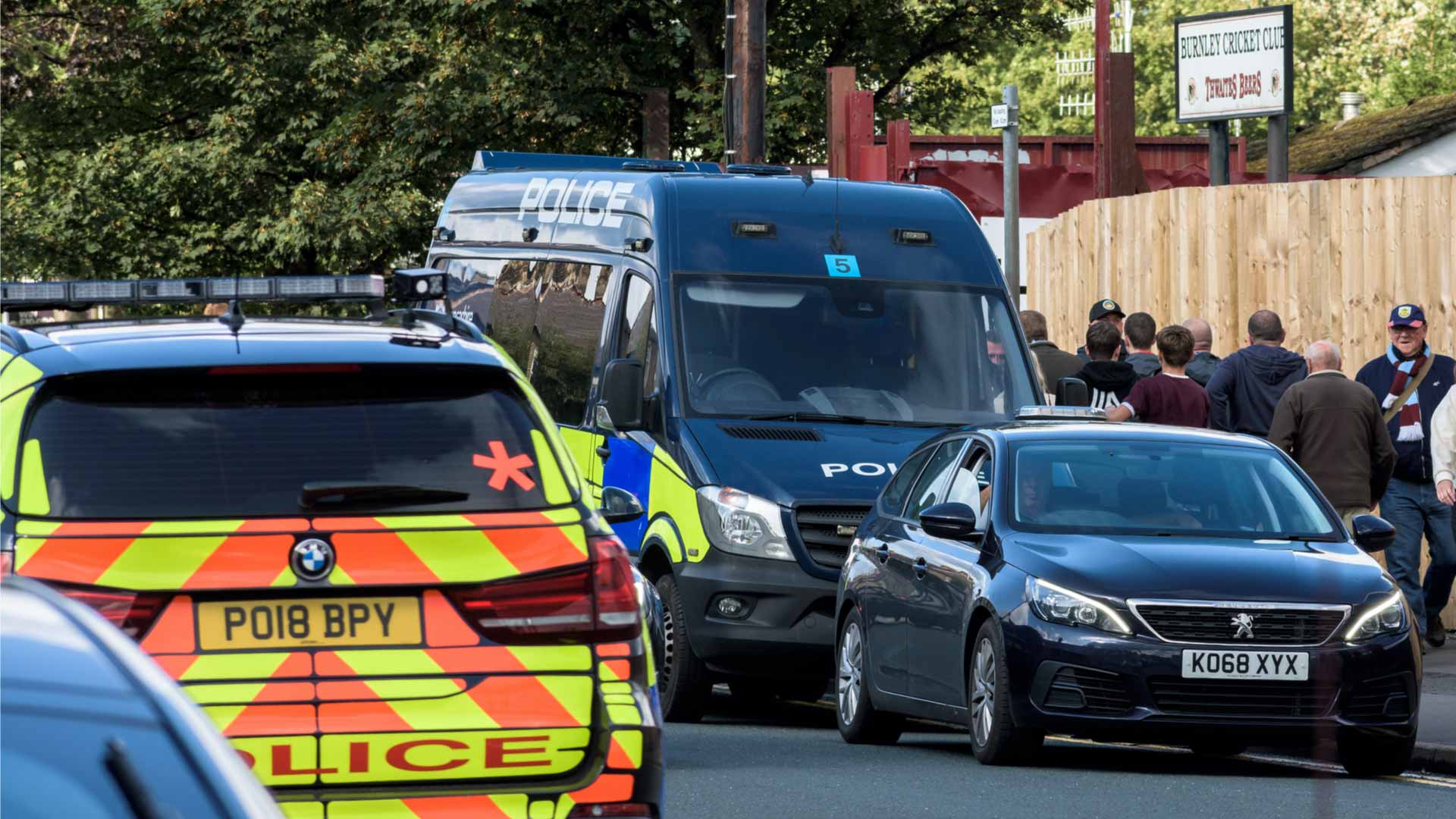
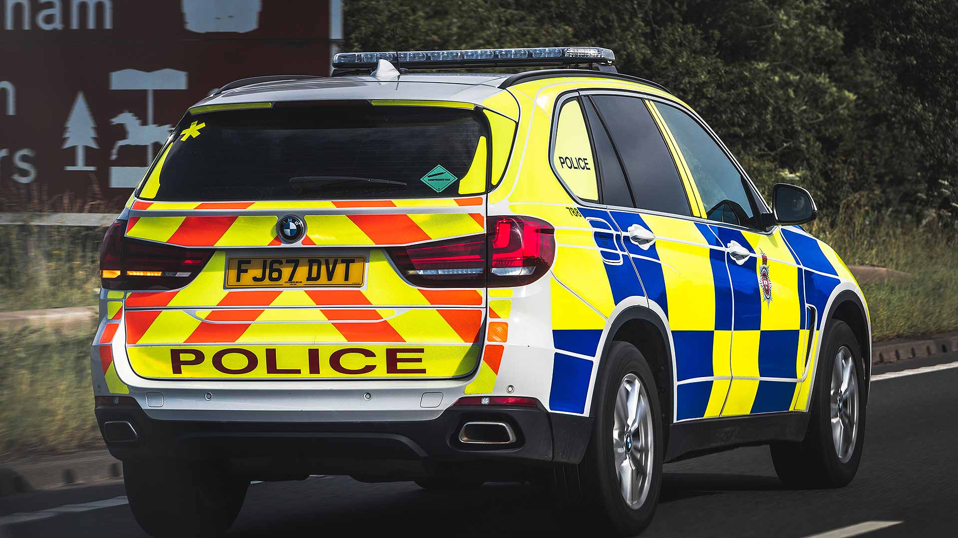
See that star symbol on the back of the BMW X5? That means it’s an Armed Response Vehicle (ARV), and the car is crewed by police firearms officers.
These cars also feature roof markings to make them identifiable to helicopters. West Ham fans, beware!
Double-length white lines
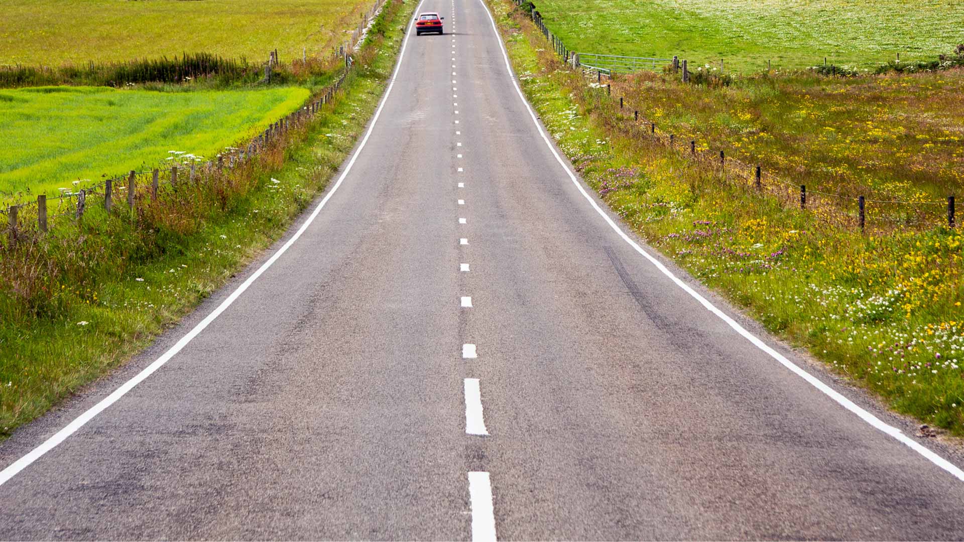
A broken white line marks the middle of most roads. However, when the centre lines lengthen and the gaps between them shorten, it means there is a hazard ahead.
Do not cross the lines unless you can see the road ahead is clear.
‘Wiggly’ road signs
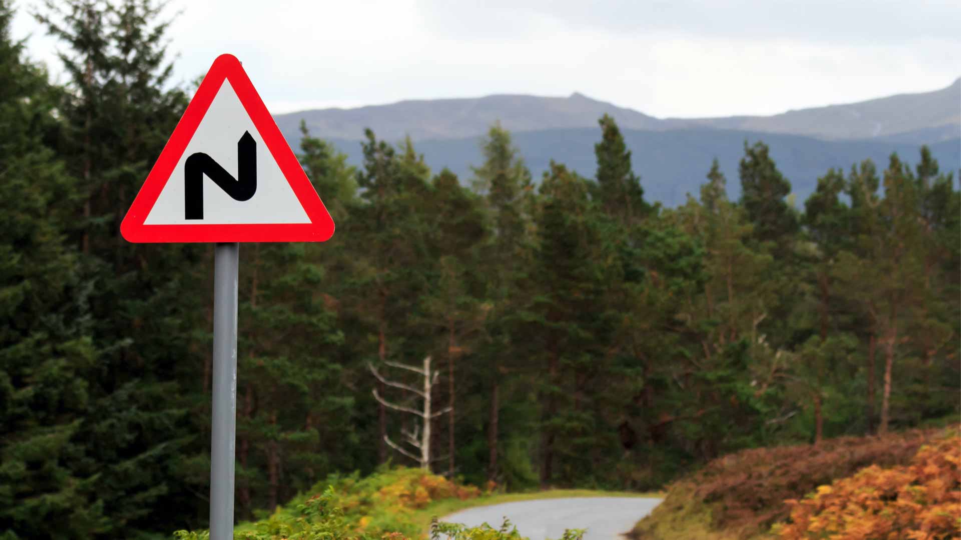
The double bend road sign actually shows you the direction of the first corner coming up. In the case of the example above, the road bends to the right, before turning left.
If the sign is reversed, the opposite is true. The same rule applies to the standard ‘road bend’ sign.
Lamp posts for unfamiliar bends
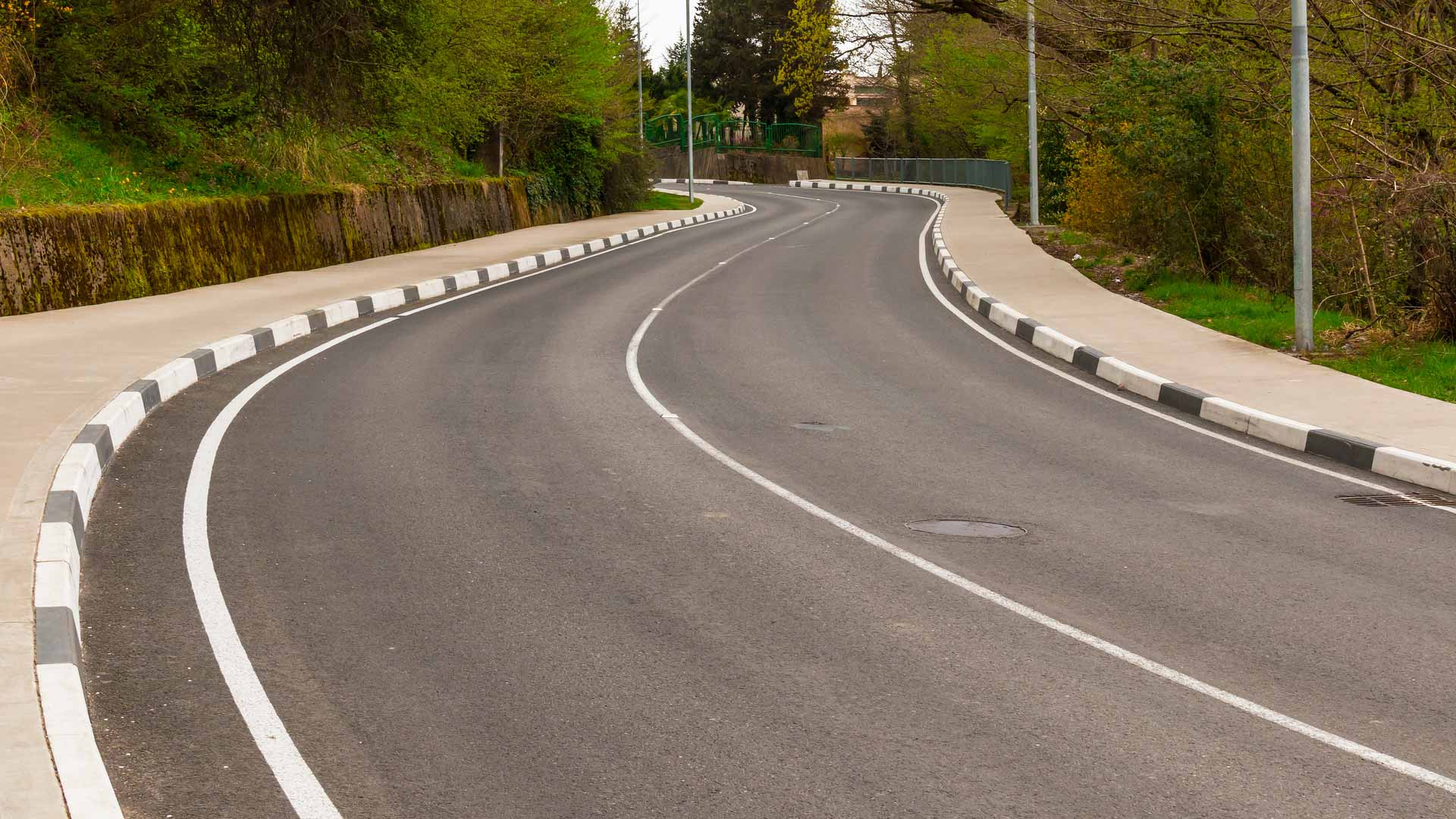
If you’re driving on an unfamiliar road, use lamp posts to anticipate the road ahead and guide you through bends.
Whether they’re switched on or off, the lamp posts act like safe waymarkers.
Emergency diversion route symbols
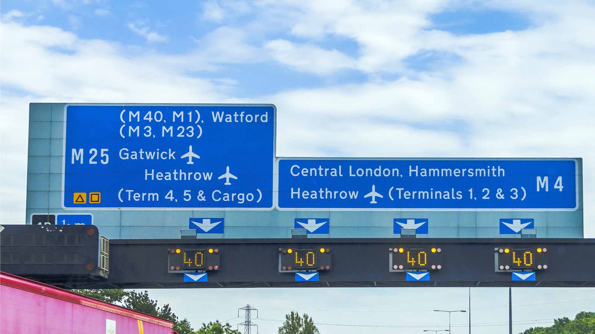
Note the little black-on-orange symbols on the left of this motorway gantry. There are four shapes – square, triangle, circle and diamond – but they can be shown filled in or outlined (as shown here). These are for Emergency Diversion Routes, and can be used in the event of a motorway closure to guide motorists to the next junction.
Drivers will be told to follow the symbol, with the diverted route marked by the symbols and/or trigger signs.
Driver location signs
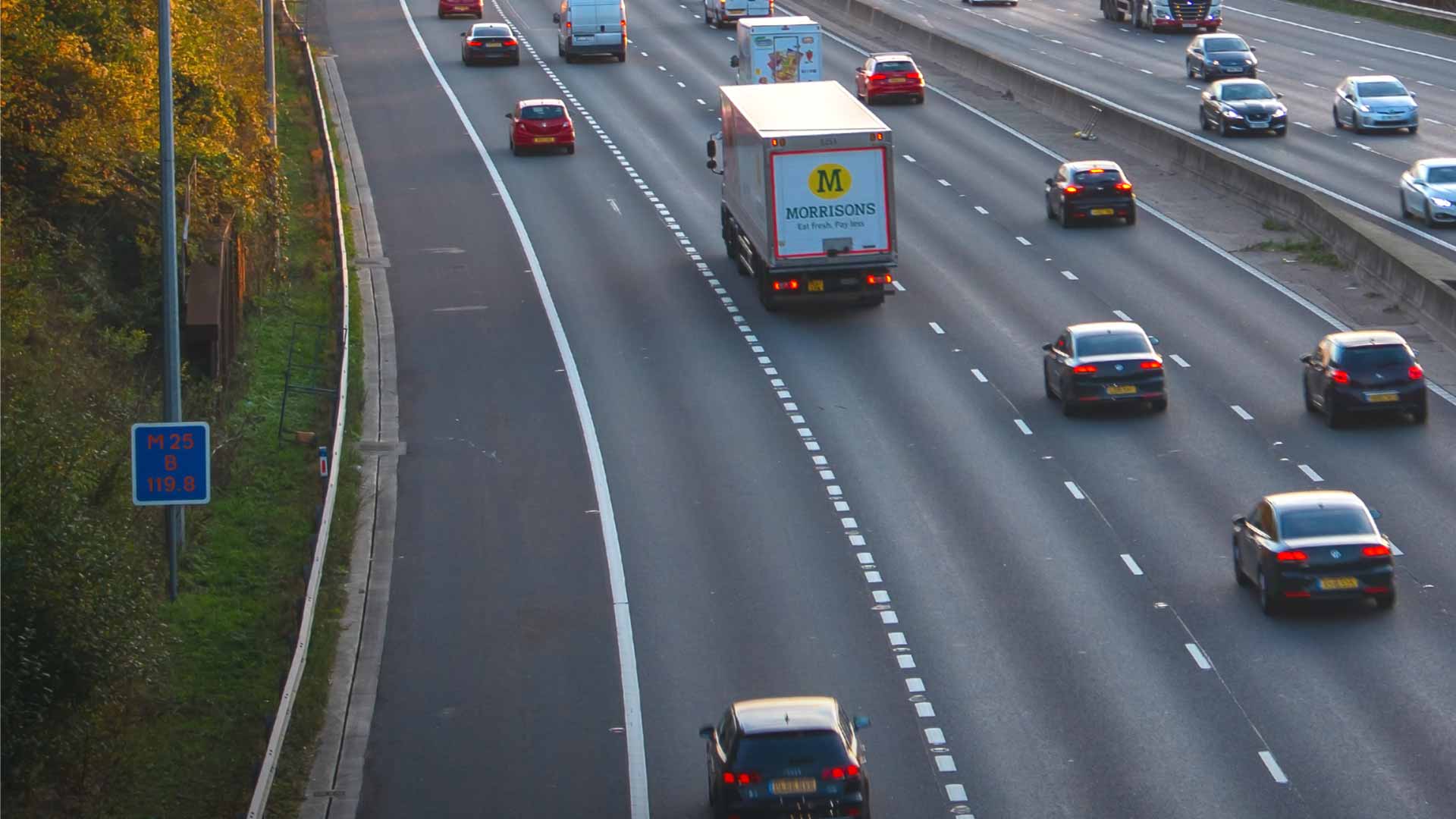
Look closely at this image and you’ll spot a blue sign on the verge. Driver location signs – or distance marker posts – were introduced in the early 2000s to alert drivers to the whereabouts of the nearest emergency phone.
The top line shows the road you’re travelling on (the M25 in this case). The letter shows the direction of travel (usually A or B), and the bottom shows how far you are (in metres) from a given location.
The signs are positioned every 500 metres on a motorway, and can be used to guide the emergency services or a recovery vehicle to a stricken motorist.
Airport signs
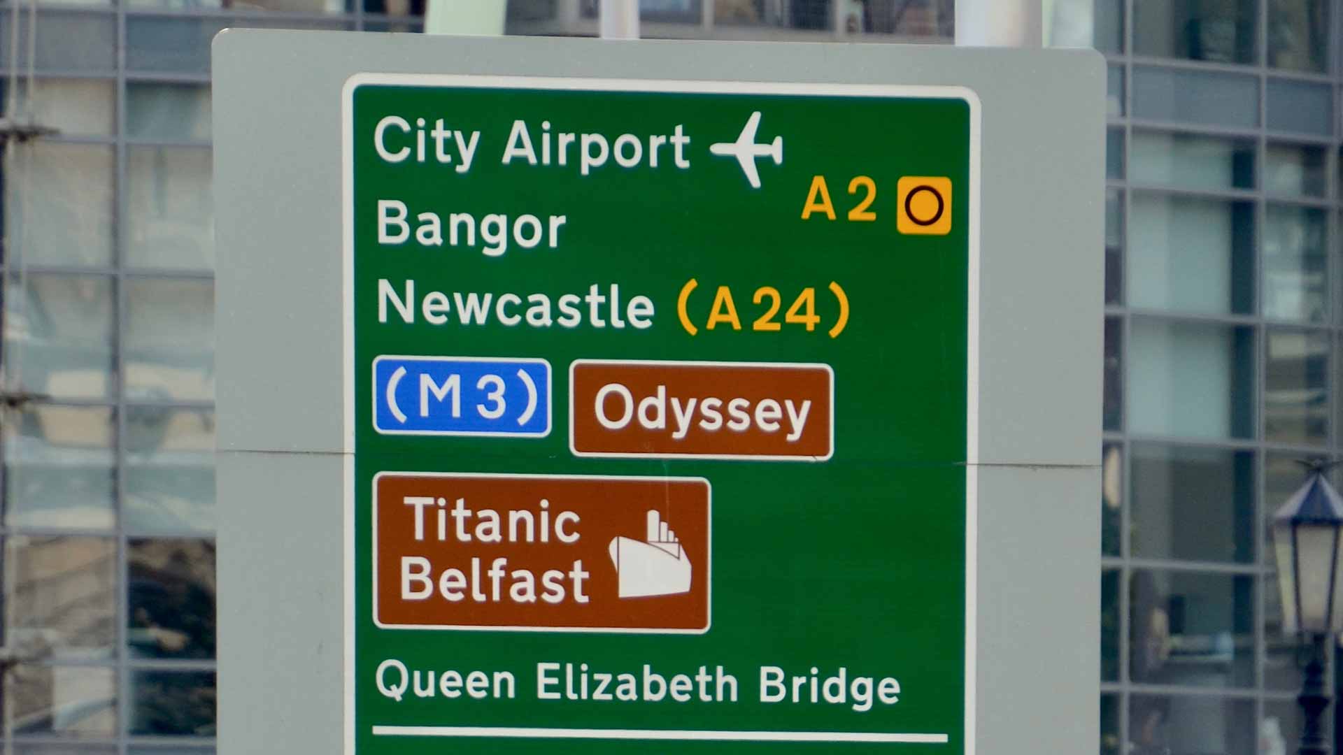
Once you’ve seen this one, you’ll never look at road signs the same way again. Thanks to our friends at PetrolBlog, we discovered the little plane on a road sign faces in the direction of travel to the airport. Not just the route, but the DIRECTION.
Coloured studs
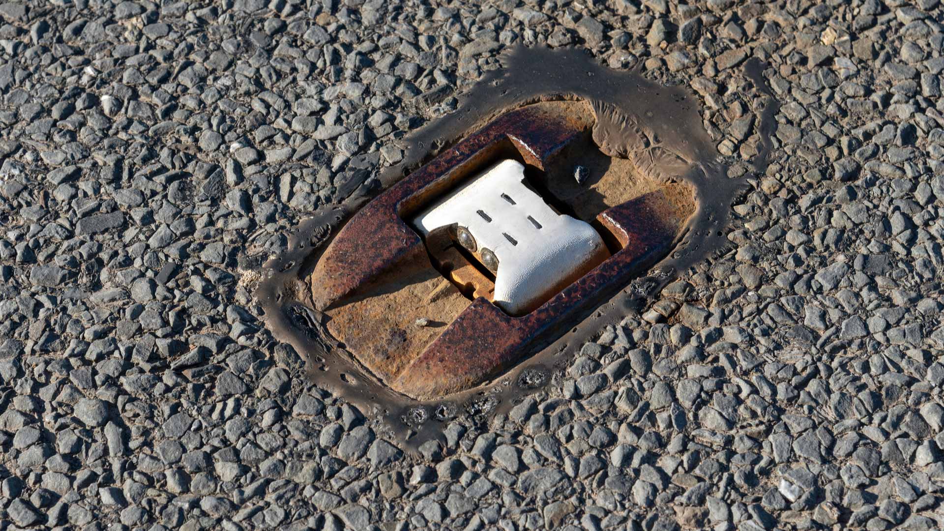
Although we commonly associate reflective road studs – or cat’s eyes – with white ‘lights’ to mark the centre of the road, other colours are used for different purposes.
Red marks the left edge of the road, amber marks the central reservation of a dual carriageway or motorway, green marks the edge of a layby or slip road, while green/yellow studs are used for temporary adjustments to lane layouts.
Route numbers in brackets
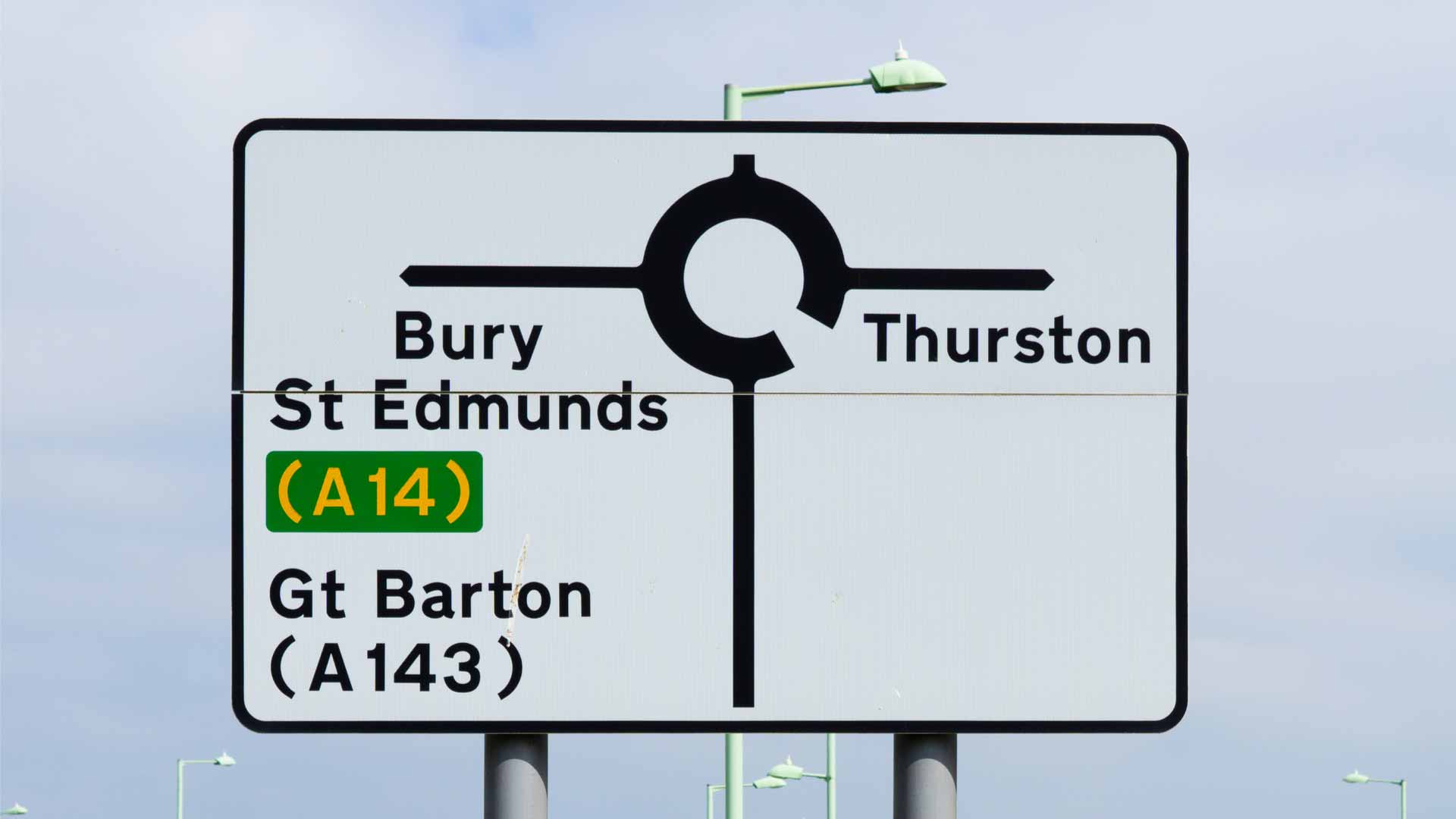
If a road number is shown in brackets, it means that the road in question can be reached by taking the route indicated. Helpful if you’re driving in a city and are searching for the nearest A-road or motorway.
The distance to London
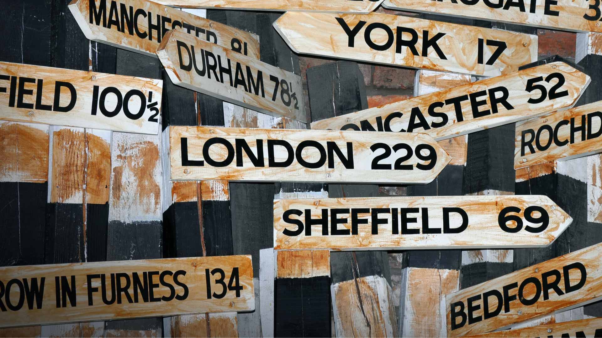
Have you ever wondered where the distance to and from London is measured from? No? We’re going to tell you anyway.
It’s Charing Cross, and it dates back to 1290 when a memorial cross (one of 12) was installed just south of Trafalgar Square.
Pavement ‘art’

No, you haven’t discovered a Banksy or ancient hieroglyphics. The dots and arrows painted on our pavements are used by utility companies to signify what lies beneath the ground.
We’d urge you to visit the BBC website for more details on the ‘squiggles’. You’ll lose at least half of your lunch hour…
Head up, foot up
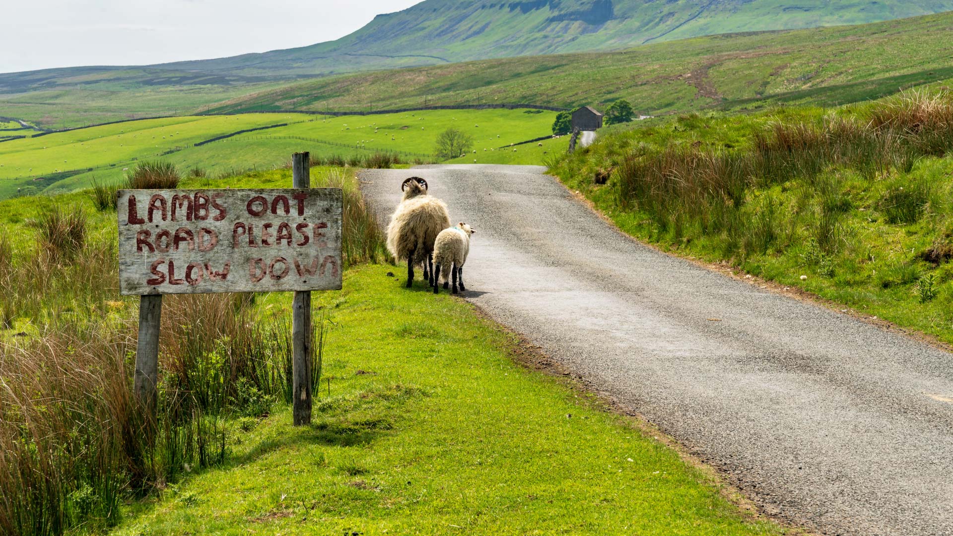
This one dates back to a Suzuki launch we attended in North Wales. We were given a set of instructions to follow a set route and told to watch out for sheep, but to take extra care when the woolly ones weren’t grazing.
‘Head up, foot up’ – basically, slow down if the sheep isn’t eating. ‘Head down, foot down’ – if the sheep is eating, you’re fine. We say: always slow down for sheep.
Yellow ‘H’ signs
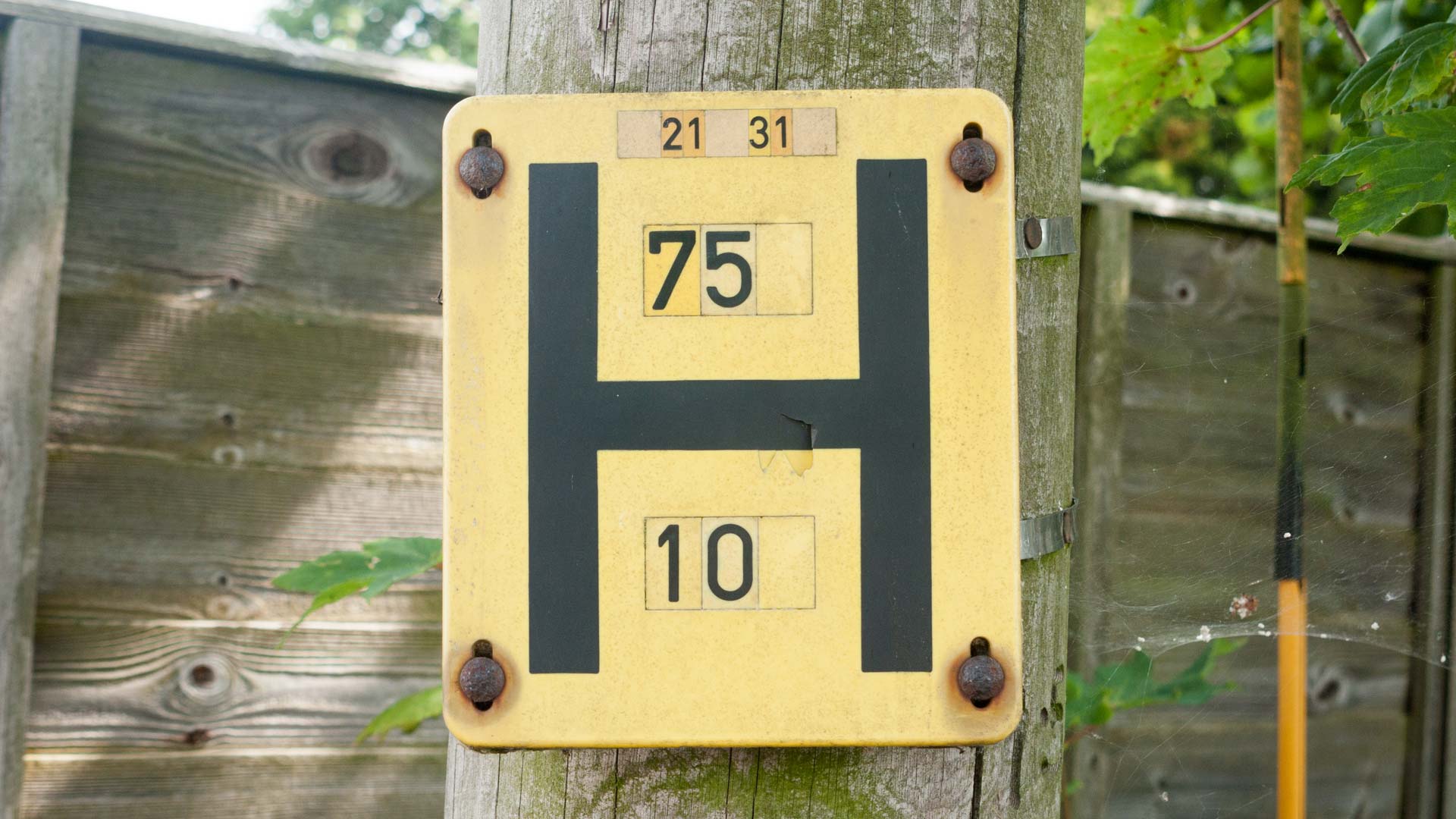
These little yellow signs are a common piece of street furniture, but have you ever stopped to wonder what they mean? They’re used to show the location and size of the nearest water hydrant.
In the case of the example shown, the size of the water main is 75mm, and the distance is 10 metres.
Escape lanes
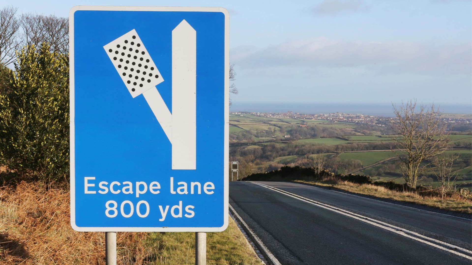
Escape lanes are sand traps located alongside the downhill side of a steep road that are designed to ‘catch’ a vehicle in the event of brake failure.
As braking technology improves, they’re becoming less common, but you’ll often see evidence of a driver forced into making an impromptu visit to the ‘kitty litter’.
Dartmoor road signs
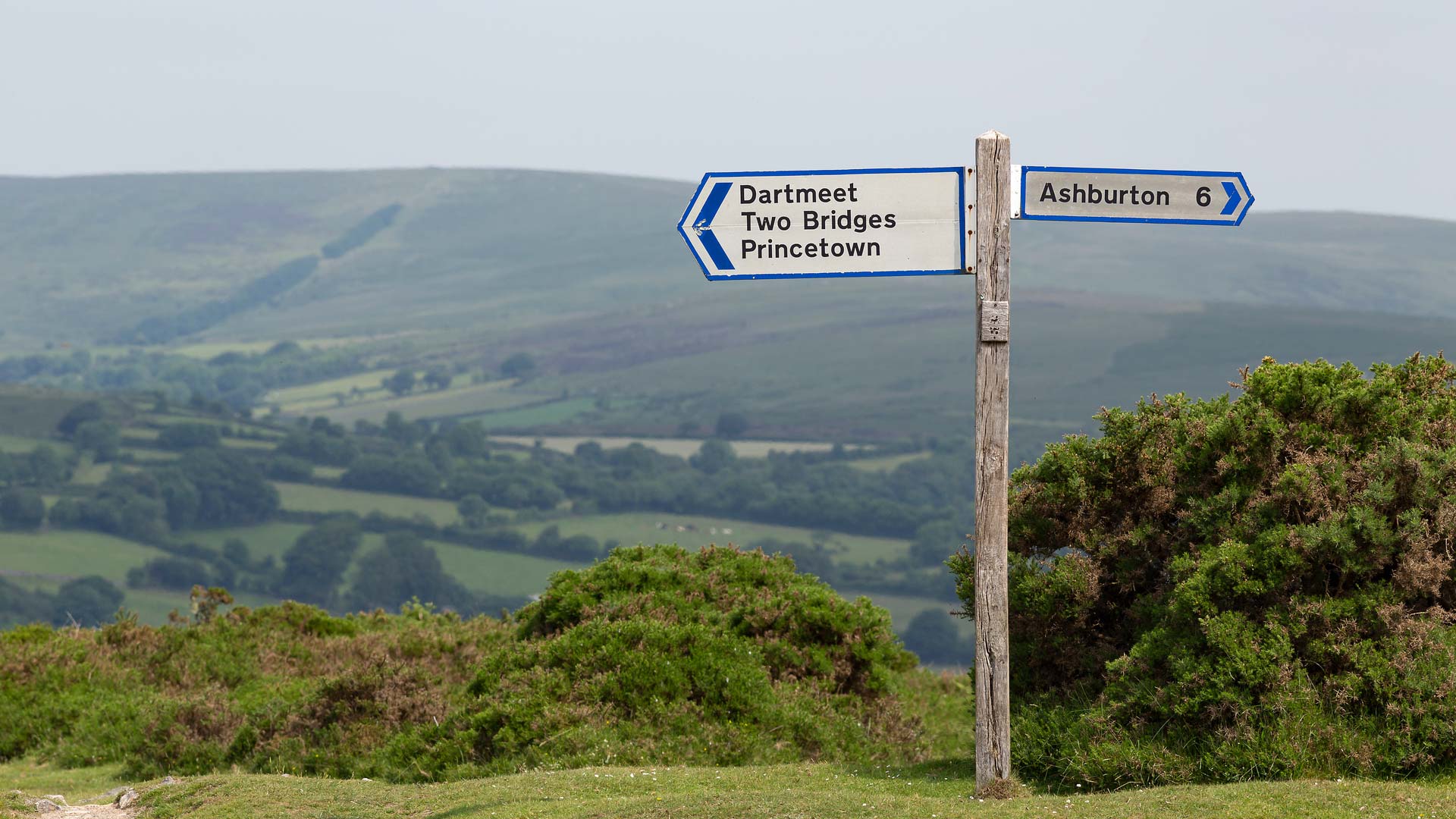
There are three different direction signs on roads in and around Dartmoor. Signs with a blue border show roads that are generally suitable for all traffic, while signs with a brown border are used for roads that are smaller with passing spaces.
Finally, signs with a black border are unsuitable for large vehicles. The brown signs are not to be confused with the common tourist signs, which can be seen across the country.
‘Mystery’ junction
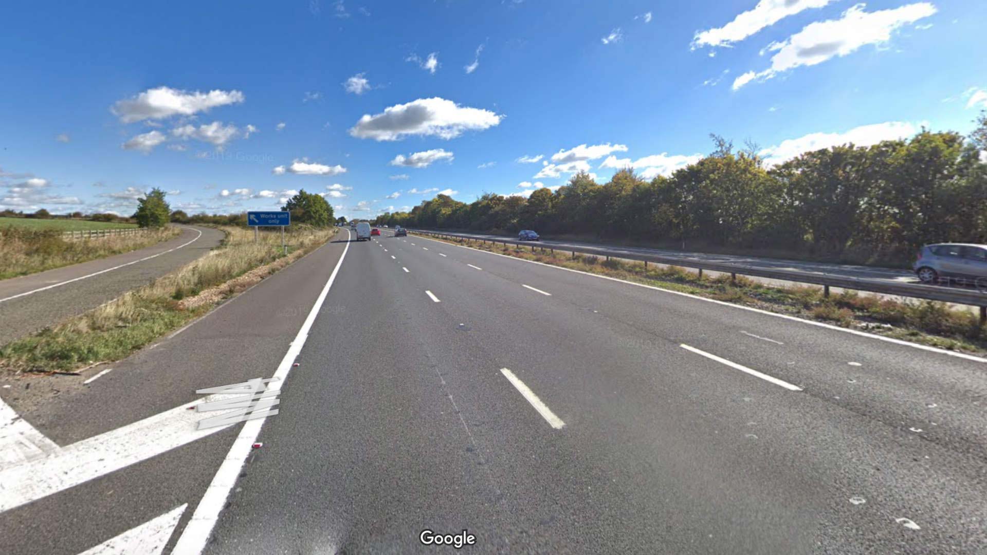
Anyone who has travelled eastbound along the M4 has probably spotted the exit marked with ‘Works unit only’ signs. Conspiracy theories exist, but it’s actually used for RAF Welford, which is one of the largest European ammunition compounds for the United States Air Force.
According to Forces Reunited, it’s at its busiest when the U.S. government deploys bombers to a forward air station at RAF Fairford.
Baby on board sticker
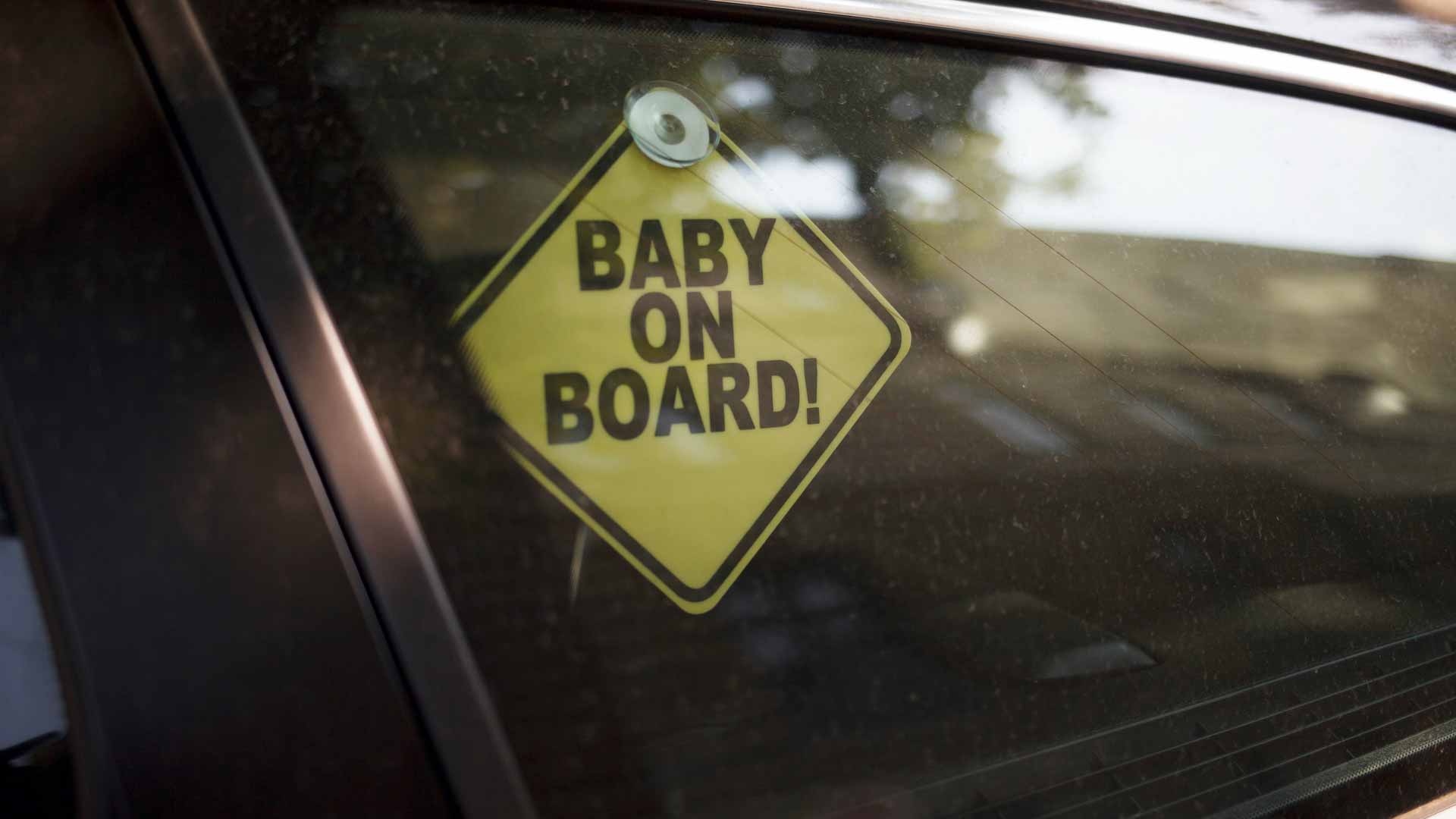
Baby on board stickers were designed to encourage other drivers to be more considerate and to alert the emergency services that a child or baby is on board in the event of an accident. This isn’t so much a ‘hidden secret’, more a case of the sticker losing its meaning and impact.
A ‘Westlife fan on board’ sticker wouldn’t encourage many of us to drive more carefully. Although we guess we’d probably keep our distance…
Roadside milestones
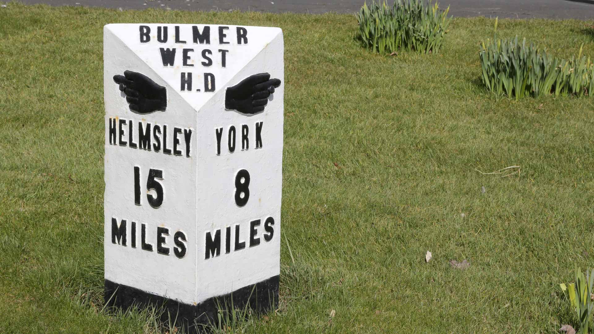
According to the Milestones Society, mileposts became compulsory on all turnpikes in 1767. Their role was to inform travellers of direction and distances, as well as keeping coaches on schedule.
Around 9,000 of them survive today, as many were removed or defaced during World War II to baffle potential German invaders.
Old toll houses
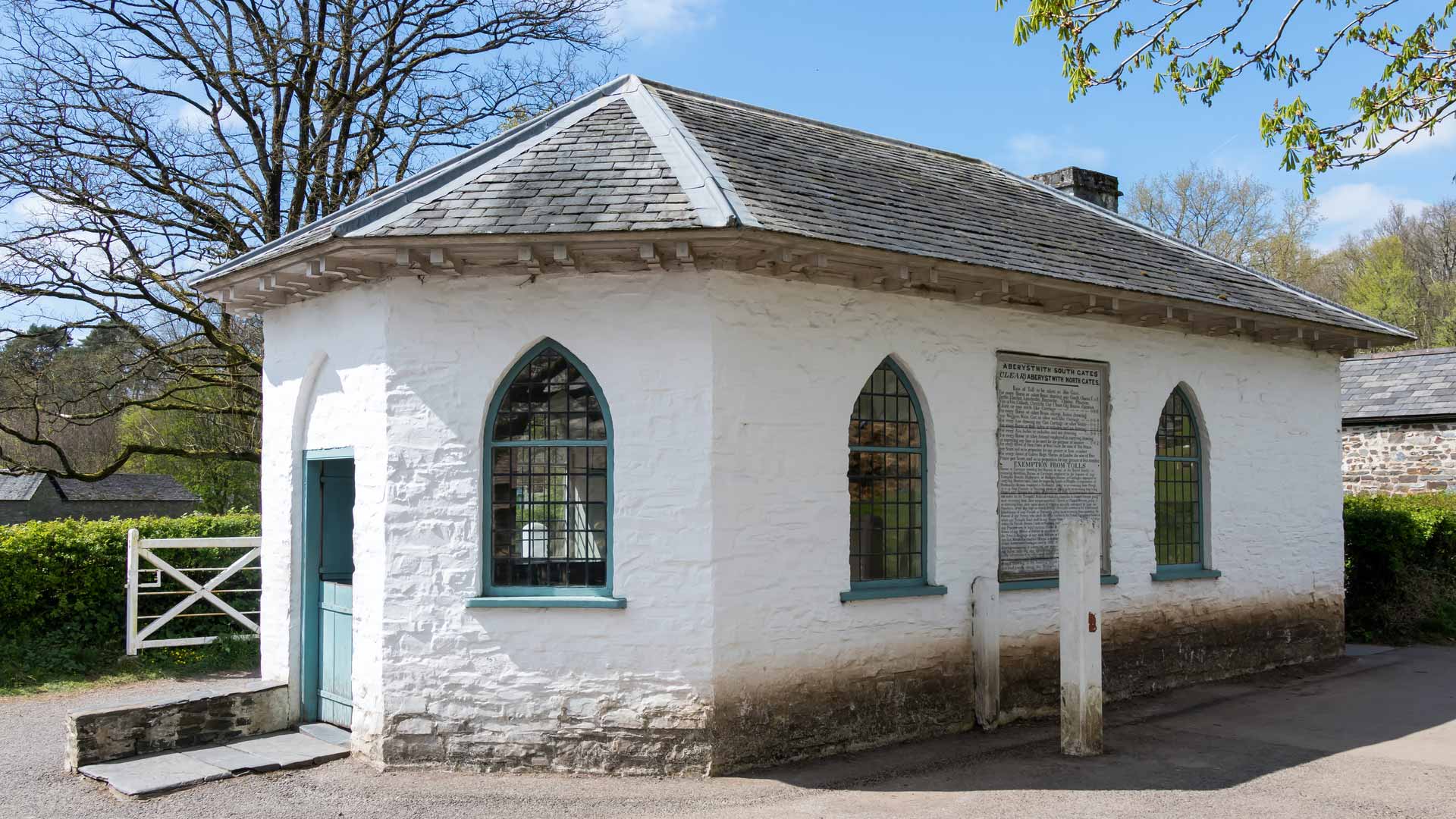
Toll houses were built at turnpike gates to collect tolls from road users. Today, their unique design makes them easy to spot. You just haven’t noticed them yet.
They’re especially common in the West Country.
ALSO READ:
Do speed cameras still need painted road markings?
The hidden secrets of everyday motoring
Driver location signs as pictured do not “alert drivers to the whereabouts of the nearest emergency phone.”, they as described help locate you for the emergency services or a recovery and the distance listed is in kilometres
Along the hard shoulder there are marker posts at 100-metre intervals and they will have an arrow directing you to your nearest emergency phone and in Scotland goes through to Transport Scotland and they should be no more than a mile apart meaning the most you’d need to walk to one is half a mile.